- Home
- Croft Mapping
- Habitat Mapping
- East Sutherland Participative GIS
- Dunnet & Canisbay PPGIS
- GIS Training
- MSc in GIS
- Photography
- Iain Turnbull
- Contact Us
East Sutherland Participative GIS

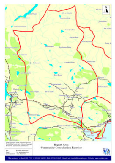
The Scottish Community Foundation is facilitating a community consultation exericise in the East Sutherland communities of Rogart, Brora, Golspie and Helmsdale with the aim of encouraging members of the community to derive their own vision for the future development of the area. The process begins on 6th October with a open door event at Rogart.
Rural GIS has been invited to assist in this exercise by offering a Participative GIS (PGIS) activity allowing individuals to map out their ideas through the use of digital mapping tools. This contract builds on the work undertaken by Iain Turnbull for the Kyle Development Group in Lochalsh earlier in 2011 when he helped gather ideas for the future of some community owned land near Kyle of Lochalsh. It is hoped that similar exercises will be carried out in each of the four communities in East Sutherland. More to follow so watch this space.
Rural GIS has been invited to assist in this exercise by offering a Participative GIS (PGIS) activity allowing individuals to map out their ideas through the use of digital mapping tools. This contract builds on the work undertaken by Iain Turnbull for the Kyle Development Group in Lochalsh earlier in 2011 when he helped gather ideas for the future of some community owned land near Kyle of Lochalsh. It is hoped that similar exercises will be carried out in each of the four communities in East Sutherland. More to follow so watch this space.

