- Home
- Croft Mapping
- Habitat Mapping
- East Sutherland Participative GIS
- Dunnet & Canisbay PPGIS
- GIS Training
- MSc in GIS
- Photography
- Iain Turnbull
- Contact Us
Dunnet & Canisbay PPGIS Exercise
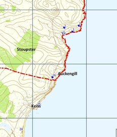
 Extract of Results from PPGIS Exercise
Rural GIS assisted consultant Sandy Anderson with a Commuity Development Plan contract by providing a series of Public Participative GIS sessions in a small community in Caithness. Based on some preliminary assessments an interactive map was created allowing participants to visualise the area being considered and to allocate ideas, issues and solutions to specific locations or areas across the Dunnet & Canisbay Community Council area. Important designations such as Sites of Special Scientific Interest (SSSI) and Special Areas for Conservation (SAC) were able to be displayed to assist in the planning and discussion of ideas. The ability for participants to visualise the geography of the area clearly helped them to link different people's ideas into more cohesive projects.
The whole exercise was carried out using Open data from the Ordnance Survey and from government agencies such as Scottish Natural Heritage and Historic Scotland. The open source Quantum GIS software was used to run the sessions and proved to be excellent for this purpose and helped to keep the cost to a manageable scale.
Quantum GIS is free and open source software licensed under Creative Commons Attribution-ShareAlike 3.0 licence (CC BY-SA) and can be downloaded from the QGIS website.

